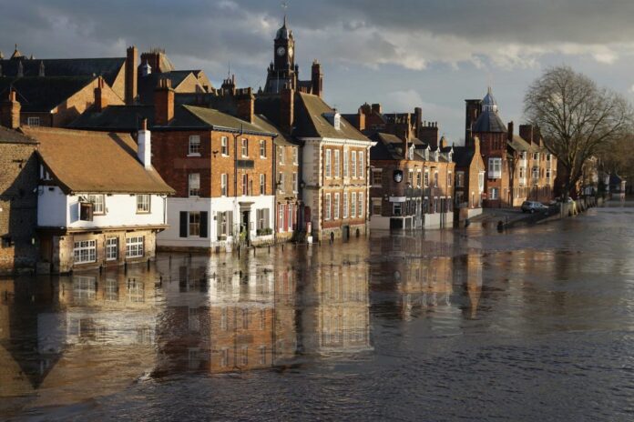
Homebuyers are being left in the dark over their true exposure to flooding as official maps understate the flood risks properties face, it has been claimed.
In the rush to beat the stamp duty deadline, homebuyers are being urged not to cut corners on flood checks amid concerns almost 530,000 properties face a hidden flood threat.
Insurer Zurich, which carried out the analysis, claims households could be more exposed to flooding than they may think due to the official language used to communicate flood risk.
The Environment Agency currently reports flood risk based on the chances of an area flooding in any one year. It rates homes with a so-called 1 in 100-year to a 1 in 30-year chance of flooding as being at “medium” risk. This means there is a 1 per cent to 3.3 per cent chance of a flood occurring in any single year.
But Zurich has warned that when viewed over a typical 30-year mortgage, this equates to a 26 per cent and a 63 per cent likelihood of being flooded once in that period – a far greater risk than the current terminology suggests.
Zurich said this could leave homebuyers with a misleading impression of their flood risk and lull them into a false sense of security. There are 446,800 homes and 82,100 non-residential properties in England deemed to be at “medium” risk of flooding.
Kumu Kumar, head of Zurich Resilience Solutions, said: “Predicting flood risk isn’t a perfect science. While Environment Agency maps are a useful guide to flood risk, they can downplay the dangers some properties face. Amid the rush to complete sales ahead of the stamp duty deadline, it is important buyers don’t skip crucial checks to assess whether a home is in danger of flooding. As surveys aren’t required to show the risks, the onus falls on buyers to find out whether a home lies in an area at risk of flooding. Buyers need to scrutinise the detail – or they could be hit by unexpected flooding.”
Further insights show that flood definitions on Environment Agency maps also differ from those used in government planning maps – creating additional confusion for buyers.
Environment Agency maps define properties with 1 per cent to 3.3 per cent chance of flooding as being at “medium” risk. Yet this is at odds with the government’s own flood maps used for planning policy which rate properties in the same 1 per cent to 3.3 per cent band as being a “high” flood risk. The government maps comply with the Flood Risk Regulations, but the Environment Agency’s do not.
In addition, Zurich warned river and sea flood maps published by the Environment Agency provide an incomplete picture of flooding, as they only reflect flood frequency, not depth. A flood to an expected depth of a few centimetres requires vastly different protection to a flood of one metre. Without information on flood depth, homebuyers are unable to tell how severely a property might be flooded or what flood resilience measures to put in place.
Zurich also wants to see the Environment Agency update their maps to align with the flood definitions used by the government for planning.
The UK has been hit by a series of severe floods in recent years. Five million people in the UK live in flood prone areas and one in six homes are at risk.
Earlier this year, Zurich announced it is offering free counselling to customers hit by flooding as it warned of the devastating impact of extreme weather on mental health.
Credit: Source link


